
Flying Site Assistance - 2003/05
I had the opportunity to attend the 2002 National Recreation and Parks Association annual meeting held in Tampa, Florida, October 16–20, 2002. The convention drew approximately 10,000 parks and recreation officials from across the United States. We were scheduled for an on-site seminar; Jim Slaughter organized and coordinated the program admirably. I thank the Sarasota R/C Squadron for hosting the activity at their wonderful flying site. I commend Jim Slaughter for his administrative ability. See “Finding and Keeping Flying Sites,” page 48 of this issue for his feature article.
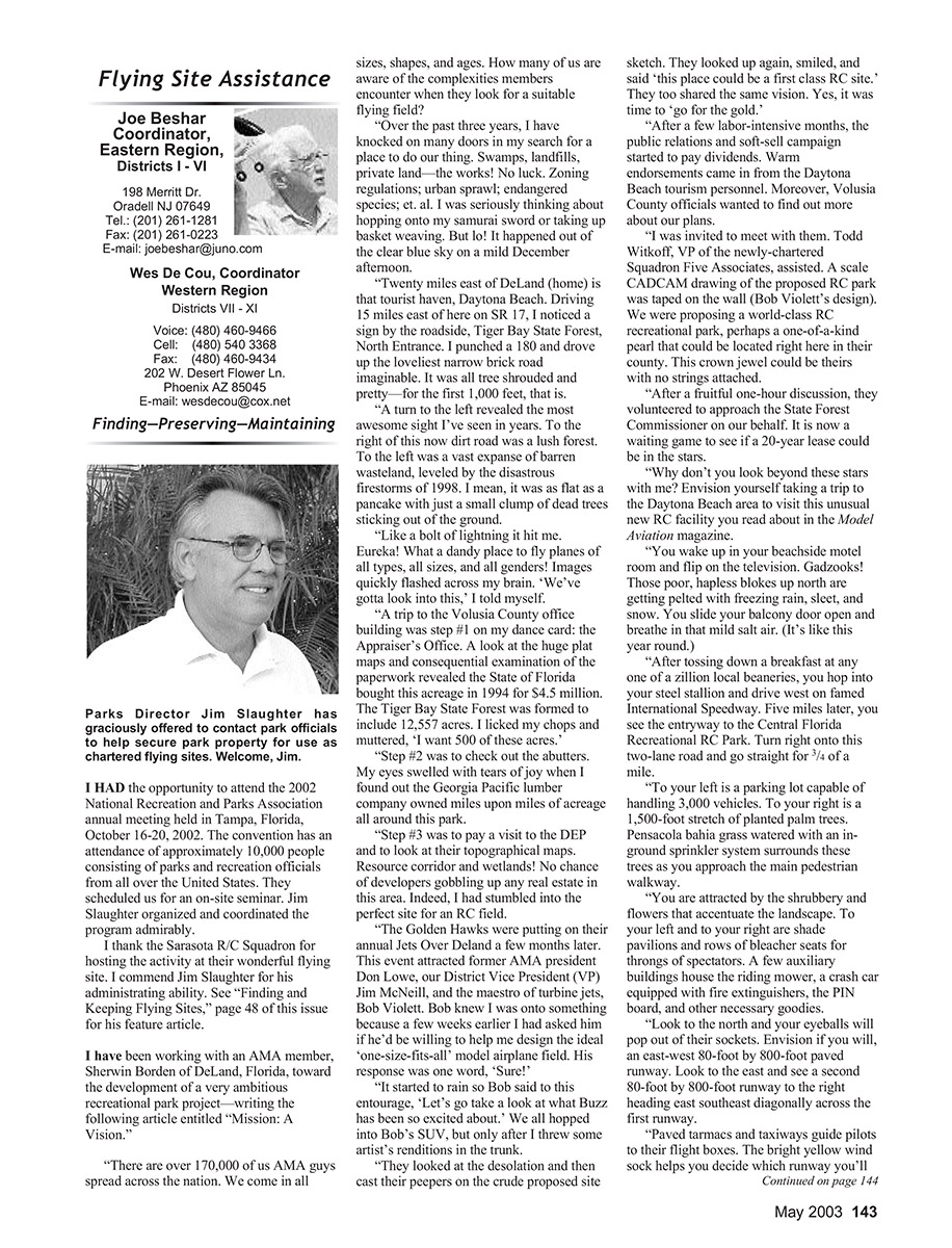
Parks Director Jim Slaughter has graciously offered to contact park officials to help secure park property for use as chartered flying sites. Welcome, Jim.
Mission: A Vision
I have been working with an AMA member, Sherwin Borden of DeLand, Florida, toward the development of a very ambitious recreational park project—this is the story of that effort and the article entitled “Mission: A Vision.”
There are over 170,000 of us AMA members spread across the nation. We come in all sizes, shapes, and ages. How many of us are aware of the complexities members encounter when they look for a suitable flying field?
Over the past three years, I have knocked on many doors in my search for a place to do our thing—swamps, landfills, private land—the works. No luck: zoning regulations, urban sprawl, endangered species, et al. I was seriously thinking about hopping onto my samurai sword or taking up basket weaving. But lo! It happened out of the clear blue sky on a mild December afternoon.
Twenty miles east of DeLand (home) is that tourist haven, Daytona Beach. Driving 15 miles east on SR 17, I noticed a sign by the roadside: Tiger Bay State Forest, North Entrance. I turned around and drove up the loveliest narrow brick road imaginable. It was all tree-shrouded and pretty—for the first 1,000 feet, that is.
A turn to the left revealed the most awesome sight I’d seen in years. To the right of this now dirt road was a lush forest. To the left was a vast expanse of barren wasteland, leveled by the disastrous firestorms of 1998. It was as flat as a pancake with just a small clump of dead trees sticking out of the ground.
Like a bolt of lightning it hit me. Eureka! What a dandy place to fly planes of all types, sizes, and configurations! Images quickly flashed across my brain. “We’ve gotta look into this,” I told myself.
My next steps were methodical:
- Visit the Appraiser’s Office. A look at the huge plat maps and the paperwork revealed the State of Florida bought this acreage in 1994 for $4.5 million. The Tiger Bay State Forest was formed to include 12,557 acres.
- Check out the abutters. I was elated to find the Georgia‑Pacific Lumber Company owned miles upon miles of acreage all around this park.
- Visit the DEP and examine topographical maps. Resource corridors and wetlands meant little chance of developers gobbling up real estate in this area.
Indeed, I had stumbled into the perfect site for an RC field.
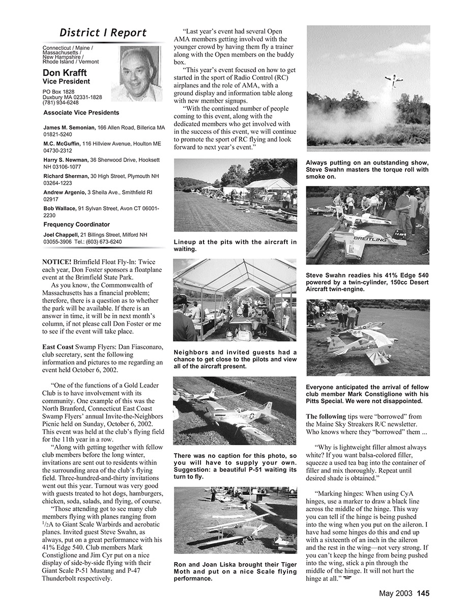
A few months later, at the Golden Hawks’ annual Jets Over DeLand event, former AMA president Don Lowe, our district vice president Jim McNeill, and the maestro of turbine jets, Bob Violett, were in attendance. A few weeks earlier I had asked Bob if he’d be willing to help design the ideal “one-size-fits-all” model airplane field. His response was one word: “Sure!”
When it started to rain, Bob said to our entourage, “Let’s go take a look at what Buzz has been so excited about.” We all piled into Bob’s SUV, after I tossed some artist’s renditions into the trunk. They looked at the desolation, cast their eyes on the crude proposed site sketch, looked up again, smiled, and said, “This place could be a first-class RC site.” They too shared the vision. Yes, it was time to “go for the gold.”
After a few labor-intensive months, the public-relations and soft-sell campaign started to pay dividends. Warm endorsements came in from Daytona Beach tourism personnel; Volusia County officials wanted to learn more about our plans. I was invited to meet with them. Todd Witkoff, vice president of the newly chartered Squadron Five Associates, assisted. A scale CAD/CAM drawing of the proposed RC park (Bob Violett’s design) was taped on the wall.
We were proposing a world-class RC recreational park—perhaps a one-of-a-kind jewel that could be located right here in their county. This crown jewel could be theirs with no strings attached. After a fruitful one-hour discussion, they volunteered to approach the State Forest Commissioner on our behalf. It is now a waiting game to see if a 20‑year lease could be in the stars.
Why don’t you look beyond these stars with me? Envision yourself taking a trip to the Daytona Beach area to visit this unusual new RC facility you read about in Model Aviation magazine.
You wake up in your beachside motel and flip on the television. Those poor blokes up north are getting pelted with freezing rain and sleet; we are enjoying 80 degrees and a gentle sea breeze. You step out on your balcony and breathe in the mild salt air.
After breakfast at any one of a zillion local eateries, you hop into your steel stallion and drive west on famed International Speedway. Five miles later you see the gateway to the Central Florida Recreational RC Park. Turn right onto the one-and-a-half-lane road and go straight for three-quarters of a mile.
To your left is a parking lot capable of handling 3,000 vehicles. To your right is a 1,500-foot stretch of planted palm trees. Pensacola Bahia grass, watered with an in-ground sprinkler system, surrounds these trees as you approach the main pedestrian walkway.
You’re attracted by the shrubbery and flowers that accentuate the landscape. To both left and right are shade pavilions and rows of bleacher seats for throngs of spectators. A few auxiliary buildings house the riding mower, a crash truck equipped with fire extinguishers, the pin board, and other necessary gear.
Look to the north and your eyeballs will pop out of their sockets. Envision an east–west 80‑foot by 800‑foot paved runway. Look to the east and see a second 80‑foot by 800‑foot runway running east‑southeast diagonally across the first runway.
Paved tarmacs and taxiways guide pilots to their flight boxes. The bright yellow wind sock helps you decide which runway you’ll use.
Transcribed from original scans by AI. Minor OCR errors may remain.

